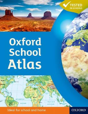
The Oxford School Atlas is an essential resource for students, featuring country data and easy-to-read colourful mapping in an accessible layout based on research into how students use maps.
Key Features:
• Curriculum-Aligned: Covers key themes such as earthquakes, volcanoes, climate, economic activity, and development.
• Comprehensive Coverage: Includes detailed maps of the British Isles and global regions.
• Case Studies: Features real-world examples including Italy, Kenya, Brazil, Japan, China, California, the Indian Ocean tsunami, Hurricane Katrina, and Antarctica.
• Accessible Design: Clear, colourful mapping and engaging visuals to support learning.
This atlas combines accurate data with practical features, making it ideal for classroom use and exam preparation.
 Kids will love this hilarious fairy tale adventure packed with clever twists, familiar characters and page-turning fun.
 The second book in a fabulous new magical, middle-grade series filled with adventure, wonder and wildness,
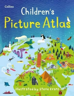
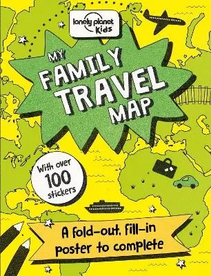
See More Atlases & maps
No one has written a review for 'Oxford School Atlas'
Why not be the first to share your opinion?
Dr Patrick Wiegand taught in primary and secondary schools before being appointed to the School of Education at the University of Leeds where he trained teachers, taught on Masters' programmes and supervised PhD students. He became Head of Teacher Training at the University of Leeds and then Reader in Geography Education. He has researched children's thinkin
More about Patrick Wiegand