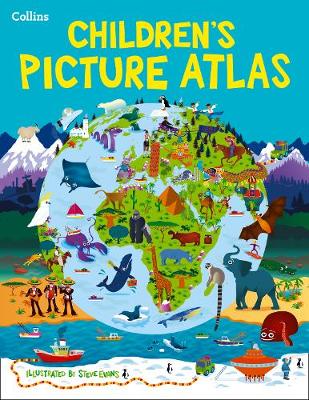
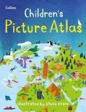
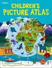
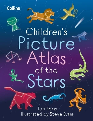
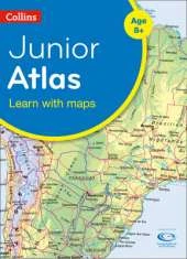
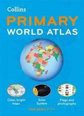
A beautifully illustrated picture atlas designed to take children on an exciting journey around the world.
The atlas opens with the continents, then presents a world view of countries before exploring deeper into each country and the exciting places to visit within each.
* The maps are clear, colourful and perfect for children to explore the world and let their imaginations run riot.
* Illustrated by Steve Evans.
* This book is ideal for home or school and finding out more about the world whilst also helping to develop essential reading skills.
* Clear, colourful, highly informative, illustrated mapping designed for young readers.
* Arranged by continent for easy reference.
* Facts about the world we live in are included on each spread.
 Kids will love this hilarious fairy tale adventure packed with clever twists, familiar characters and page-turning fun.
 The second book in a fabulous new magical, middle-grade series filled with adventure, wonder and wildness,
No one has written a review for 'Collins Children's Picture Atlas'
Why not be the first to share your opinion?
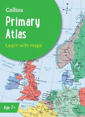
Explore the world through accurate and up-to-date mapping.
More about Collins Maps