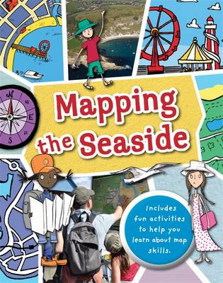
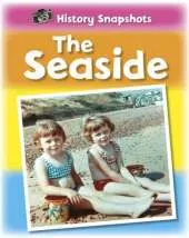
Full of hands-on activities to help you learn all about map skills whilst also learning about the features of the seaside. This book will show you what a bird's eye map is by looking at aerial photos of a seaside town;how tourist maps can help you find your way around; how symbols are used to represent landmarks, how to use a compass at the beach; how scale works by comparing two different harbours; to make a plan map of a pier showing how it is used; using grid references on a holiday campsite; planning a walk near a river estuary using a map; showing contour lines to map cliffs; using weather maps and landuse maps to show seaside buildings such as shops, hotels and houses; looking at islands and how teh water around them is mapped. Illustrations by Sarah Horne in an amusing and lively style are combined with photographs to really capture a child's attention helping them to learn these important map skills.
 Kids will love this hilarious fairy tale adventure packed with clever twists, familiar characters and page-turning fun.
 The second book in a fabulous new magical, middle-grade series filled with adventure, wonder and wildness,
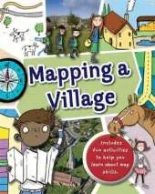
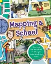
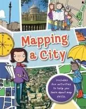
This is Book 5 in the Mapping Series. See all Mapping books here.
See More Natural history
No one has written a review for 'Mapping: the Seaside'
Why not be the first to share your opinion?
Dr Jen Green worked in publishing for 15 years and is now a full-time writer who has written over 200 books for children, on geography, the environment, history, natural history, and other subjects. Her Heinemann-Raintree title on Sustaining Our Natural Resources was selected in 2011 for the Junior Library Guild's SLJ Curriculum Levels program.
More about Jen Green