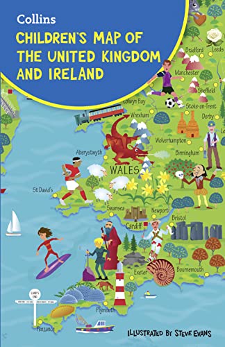
Colourful Illustrated Map of the United Kingdom and Ireland
This highly illustrated, folded pictorial map is designed to take children on a journey of discovery around the United Kingdom and Ireland.
Stunning illustrations are used to depict themes such as national emblems, customs, food, birds, animals, buildings and sports to help younger readers gain an understanding of peoples around the world.
Illustrated by Steve Evans.
 Kids will love this hilarious fairy tale adventure packed with clever twists, familiar characters and page-turning fun.
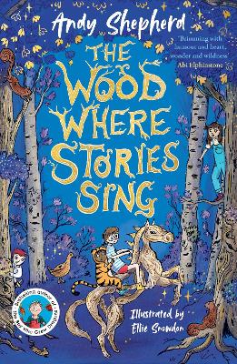 The second book in a fabulous new magical, middle-grade series filled with adventure, wonder and wildness,
No one has written a review for 'Children's Folded Map of the United Kingdom'
Why not be the first to share your opinion?
Explore the world through maps..
More about Steve Evans