This atlas has been revised and updated to take account of changes to the borders of counties within England, Wales and Scotland. The aim of the atlas is to introduce lower-secondary pupils to essential atlas skills through an informal but systematic approach. An introductory section teaches the skills and concepts essential for atlas use and the maps are used to practise interpretive skills and practical ability. The atlas includes continental and world maps, a series of historical maps of the British Isles, statistics and a comprehensive dual index - latitude/longitude and alphanumeric.
 Kids will love this hilarious fairy tale adventure packed with clever twists, familiar characters and page-turning fun.
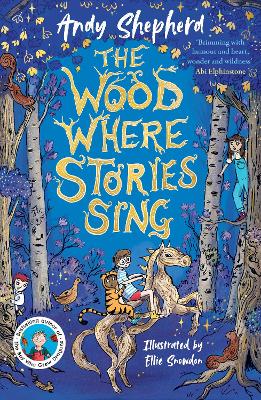 The second book in a fabulous new magical, middle-grade series filled with adventure, wonder and wildness,
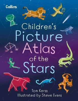
See More Atlases & maps
No one has written a review for 'Collins-Longman Mapskills Atlas'
Why not be the first to share your opinion?